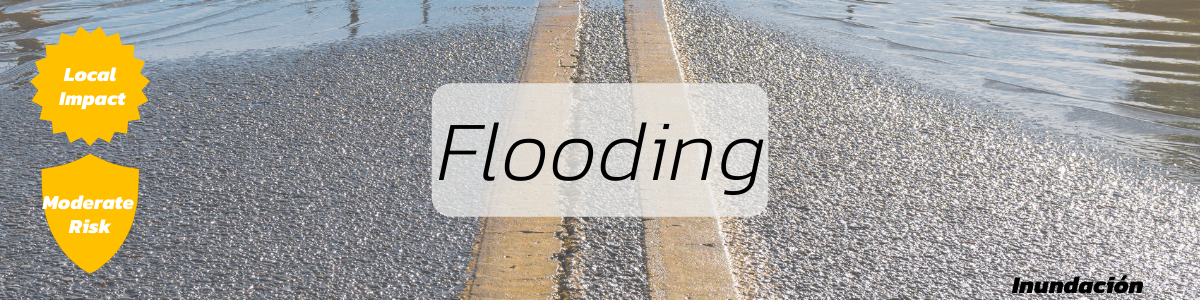
With almost 300 miles of fresh and salt water shoreline miles, Kitsap County is susceptible to flooding. In fact, flooding is the most common hazard in Kitsap County. Prolonged rain causing high stream flows can, exceed the banks of our creeks and streams. In the winter months, higher than normal tides can flood coastal properties. Based on a recent assessment of Kitsap County, floods are rated a moderate risk.
Flood Declaration issued for Point No Point
The area is unsafe. Vehicles could damage the roadway. Please do not visit the area during this emergency. Flood footage via Darren Gurnee [...]
Why Volunteer?
A survey was recently sent to our volunteers asking them why they find it rewarding to donate their time. Some of their comments are below. [...]
Incident Command Class (ICS) – Graduates new students
The National Incident Management System (NIMS) was established by FEMA and includes the Incident Command System (ICS). NIMS is used as the standard for emergency management [...]
Flood Events
Helpful Links
- ECY Kitsap County 2017 Effective Flood Hazard Areas
- Prepare for local disasters
- Learn about local programs
- Current Water Conditions in Washington State (source: USGS)
- Flood Insurance. The National Flood Insurance Program provides insurance to help reduce the socio-economic impact of floods. (Source: FEMA)
- Flood Maps Floods are unpredictable. Because flood risk is always changing, communities use tools to understand their risk and take actions to protect their families, homes and businesses. (source: FEMA)
![]()